Emma Frances Logan/Unsplash
Invasive species—nonnative plants that take hold in new environments—decrease local biodiversity and causing significant economic loss. Recent studies estimate that the economic damages associated with invasive species in the United States have reached approximately $120 billion a year.
Researchers from the University of Tennessee, Oak Ridge National Laboratory, and North Carolina State University have been working to improve a powerful tool in the battle against invasive plant species.
Vegetation mapping allows scientists to track and control the spread of invasive species, but it relies on extensive sampling and computing resources, making it expensive and difficult to carry out, and results are often not specific enough to predict local patterns of invasive species distribution.
Led by Wanwan Liang, who recently completed her doctoral research in UT’s Department of Entomology and Plant Pathology, the team examined the use of a unique multistep mapping and computational process to increase efficiency and reduce the costs involved in creating accurate vegetation maps. The team also included UT researchers Mongi Abidi, Luis Carrasco, Jack McNelis, Yingkui Li, and Jerome Grant, as well as ORNL researcher Liem Tran.
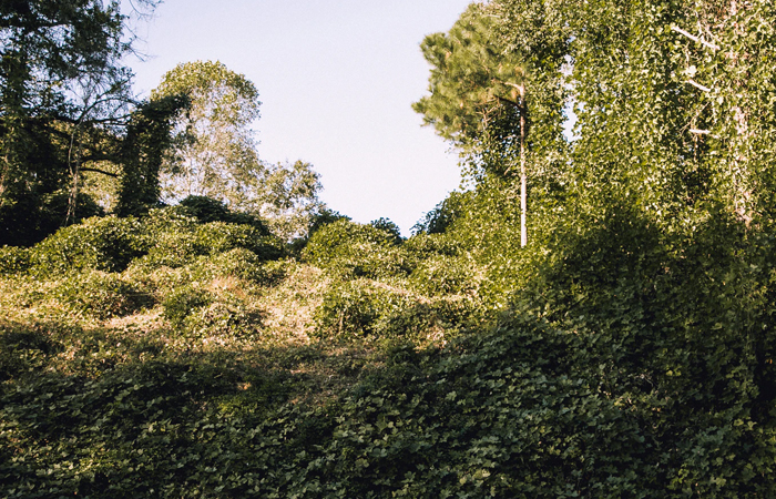
The research, conducted in Knox County, Tennessee, took images obtained through two remote sensing methods—multispectral remote-sensing and lidar (light detection and ranging)—and used object-based image analysis to classify kudzu, an aggressive invasive vine. The team combined known kudzu maps with broadly labeled vegetation samples. This resulted in a map designed to predict kudzu growth, which was refined by verifying a small number of specific kudzu locations.
The result was an innovative process that can map vegetation at the species level while dramatically reducing the computational cost and sampling required by earlier methods. Because computational-intensive data is used only in refining the map, the new process requires a much smaller number of samples and far fewer computing resources.
The new process allows scientists to identify specific invasive species growth within a within a large area, empowering local and regional land managers to enact more effective treatment plans. This ability is critical as scientists attempt to eradicate and manage invasive species and decrease the negative impacts on local environments.
—
CONTACT:
Jen Roder (865-974-2152, jroder@utk.edu)